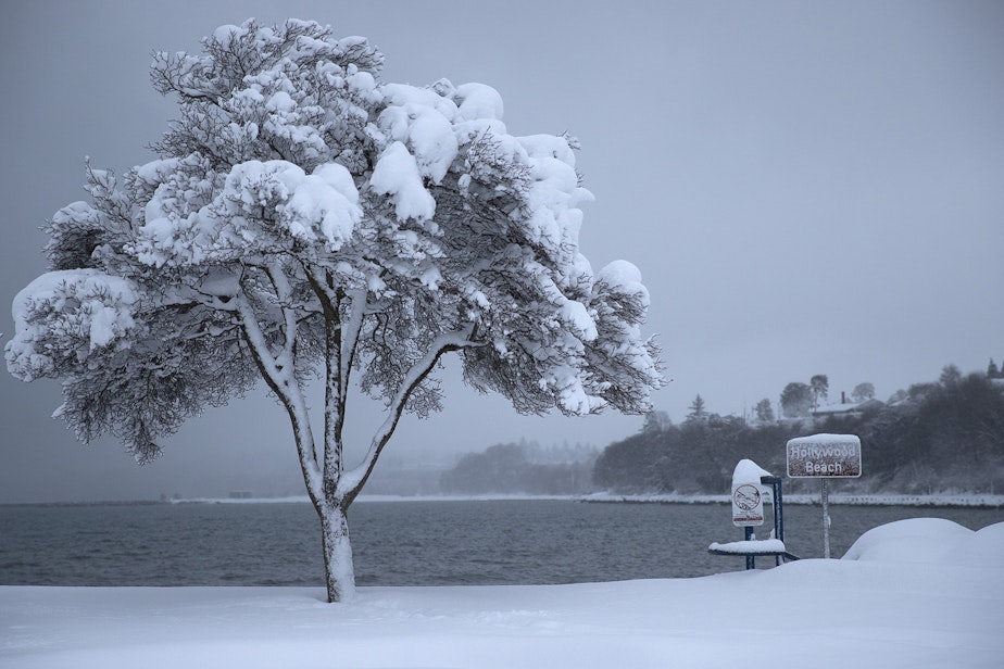
After the endless summer finally ends, another cold winter awaits
KUOW talks with Karin Bumbaco, Washington's assistant state climatologist about why we're in store for another cold winter.
NOAA's Climate Prediction Center is predicting a third straight La Niña pattern this winter for Washington state, which means colder than normal temperatures from December through February.
“It is unusual,” Bumbaco told KUOW, further noting that state weather records only go back 73 years. “This has only happened two other times in that 73 year record."
The winter of 2000-2001 was a third La Niña in a row. The Northwest had another "triple-dip La Niña event" in the winter of 1975-1976.
This means the region will be about a degree colder than usual over the winter. What that means for the weather, however, remains to be unseen at this point. Bumbaco says there are equal chances of more precipitation and less precipitation than usual.
Listen to the interview by clicking the play button above.
-
Kim Malcolm

Afternoon News Host
Kim is the local news host of KUOW's All Things Considered, airing from 3 p.m. to 6:30 p.m. weekdays. Kim covers breaking and developing daily news, both local and regional, as part of NPR's afternoon drive time programming.
More stories from Kim Malcolm » -
Andy Hurst

Senior Producer, Seattle Now
Andy Hurst is a senior producer for Seattle Now, KUOW's daily news podcast. He produces in-depth interviews for the show, in addition to Seattle Now's evening episode, which highlights the top stories of the day from the KUOW newsroom. Andy has produced interviews on a wide array of topics, and he’s especially drawn to stories about public health, science, and arts & culture.
More stories from Andy Hurst »

