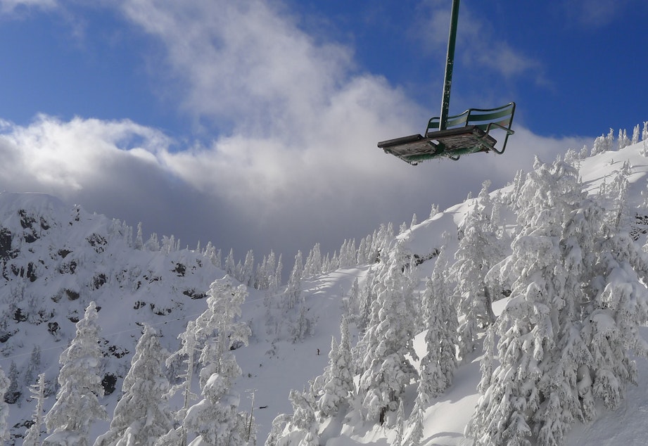
Big snow hits Washington Cascades, 2 to 4 feet expected by Thursday

If you’ve been praying for fresh powder in the mountains, apparently, someone is listening.
Over the next three days, between two and four feet of snow are predicted in the North Cascades, including at Snoqualmie and Stevens Pass, and in the Mount Rainier area.
Farther north, the Mt. Baker Ski Area expects two and a half feet in the next 24 hours.
The storm blowing through Western Washington also will bring high winds, with gusts Tuesday expected to top 35 miles per hour.
A winter storm warning will remain in effect for the mountains through Thursday afternoon. The storm will be limited to rain in the lowlands. So far, no major flooding is forecast, but scattered power outages are possible.
Sponsored
The National Weather Service said travel could be difficult to impossible in spots going over the mountain passes. The roadways most impacted will be Interstate 90 and US 2, 12, and 97.
Snow is expected to be heaviest Tuesday when snowfall rates will reach one inch or more per hour.


