First significant rainfall since April arrives in Western Washington
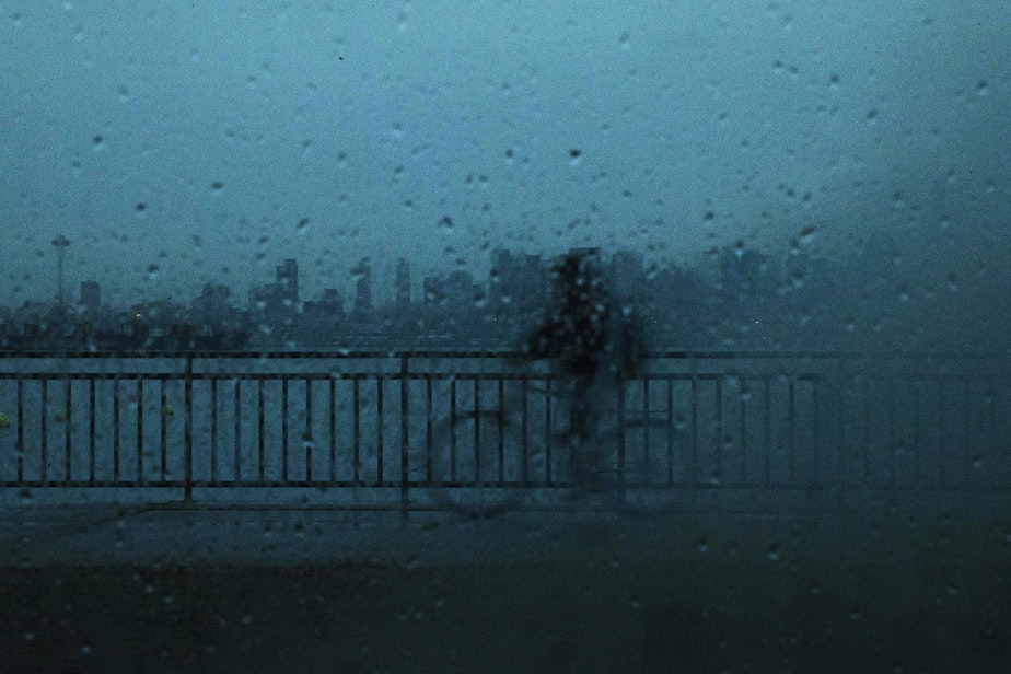
Get ready for what will be one of the wettest weeks the Seattle area has seen in quite a while.
National Weather Service Meteorologist Dustin Guy said you'd have to go back to early April to find another 24-hour period with as much rain as Western Washington has experienced since Sunday. Some areas could get up to an inch of rain when it's all said and done Monday.
RELATED: Start saving water, Seattle, utility says. We’re in drought conditions
It's not stopping either. The rain will continue through Tuesday and into Wednesday, maybe even Thursday. In fact, the National Weather Service in Seattle said Sunday night that the following 24 hours would be "the wettest we've seen in months." Boy, we need it, too.
The National Weather Service is currently predicting that the fall and winter ahead will be a bit warmer and drier than normal. The Puget Sound region is already experiencing either "moderate" to "severe" drought conditions, according to the U.S. Drought Monitor. Seattle Public Utilities has even asked its customers to voluntarily conserve water. The north Cascade Mountains are in "extreme" drought. That's where a few wildfires continue to burn.
Sponsored
Guy said the rain will help crews working to put out fires around the state, including the Sourdough Fire in the north Cascades. Lightning sparked the fire on July 29. It currently stands more than 7,300 acres and is just 25% contained, according to the North Cascades National Park Service Complex.
Fire officials have said that won't change much until we get significant rain or snow. Cue this week's forecast: "We've got four solid days of wet weather to contend with," Guy said.
Precipitation plus a parched landscape can add up to to some nasty flooding.
"If you have a really heavy rainfall rate over burn-scar, that can lead to flash flooding," Guy said. "But that's because the ground itself is just not able to absorb the moisture, because the composition of the ground tends to deflect a lot of the water. It doesn't soak up the water, so can run off really fast."
Sponsored
That creates a flash flood.
Luckily, while rainfall this week should be substantial enough to help fight the flames, Guy said it's not causing any flood concerns just yet.
"Right now, the rainfall rates are sort of behaving themselves over the burn-scar areas," he said. "But we'll definitely have to keep an eye on it in the days ahead, because we do have plenty of precipitation in the forecast. And if we see any kind of thunderstorm activity or really enhanced rainfall rates over those burn scars, certainly that can raise concern."
That goes for river flooding, too, he added.
For now, enjoy this taste of Seattle fall, and look forward to a dry weekend.
Sponsored
-
Katie Campbell

Online Editor/Reporter
Katie joined KUOW's online team as an editor and reporter in 2024, after serving three years as senior producer of the local Morning Edition program. She has covered a variety of local topics, including the Seattle City Council, elections, and breaking news. She also brings readers some levity with a weekly news quiz.
More stories from Katie Campbell » -
Angela King

Morning News Host
Angela King is the local host of Morning Edition. She’s been a part of the northwest news scene since the early 1990s. A proud University of Washington alumna, with degrees in broadcast journalism and American ethnic studies, she started her career as a news writer in Seattle, before becoming a reporter and anchor in Seattle, Portland and Albuquerque.
More stories from Angela King »


