School delays, closures Tuesday morning; heavy lowland snow to arrive earlier than expected

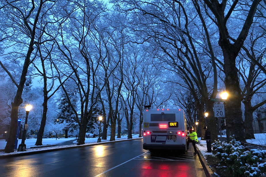
The snow may have gone -- for now -- but ice and frigid temperatures remain. It's enough to cause a few Western Washington schools to close or delay operations Tuesday.
Looking ahead, snowy weather previously expected later this week will now arrive much earlier with new powder falling Tuesday night.
The following school districts have canceled classes Tuesday:
- Bellevue
- Enumclaw
- Federal Way
- Issaquah
- Kent
- Lake Washington
- Mercer Island
- Northshore
- Riverview
- Shoreline
- Skykomish
- Snoqualmie Valley
The following schools are on a two-hour delay:
- Auburn
- Highline
- Puget Sound
- Renton
- Seattle
- Tahoma
- Tukwila
For other local school districts, check their website or social media for updates on whether classes are closed or delayed.
Try not to drive, don't sled in the street, officials say as snow strikes region
Next round of snowy weather
Forecasters now expect heavy snow to arrive a day ahead of previous predictions, moving into the area Tuesday evening.
"We're expecting a band of moderate-to-heavy snow to move up (Tuesday) evening into Wednesday morning," said Courtney Oberfell with the National Weather Service. "Right now the northern half of the city of Seattle and the city itself are on the southern fringe of where this band might fall, but we could see amounts of 2-4 inches from this evening through Wednesday morning."
The snowfall is predicted to affect the areas north of Seattle. Travel impacts are expected.
Looking ahead:
- More lowland snow is expected Wednesday evening.
- Temperatures will remain below freezing, which will keep ice and snow on local roads.
- Temperatures will rise into the weekend. Rain is expected. The National Weather Service warns that there is potential for flooding as snow melts.
Following the next rounds of snow, the National Weather Service says heavy winds will move into the area affecting the Cascade foothills and east Puget Sound lowlands. The winds will peak Wednesday evening into Thursday morning.