Western Washington is about to chill out, mountain snow is coming
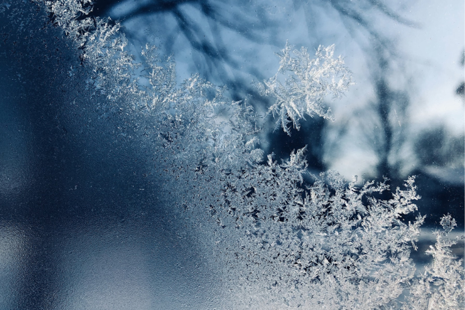
The first significant snowfall of the season is on its way to Washington state's mountains as the region begins to chill out.
"Ranges from 6-11 inches [of snow] in the Olympics to maybe closer to 6-15 inches in the Cascades, and we could even see a couple areas get higher amounts, exceeding 20 inches of snow," said Harrison Rodemacher with the National Weather Service in Seattle.
As a colder weather system moves into the region this week, Rodemacher also warns the mountain winds could be gusty Tuesday and Wednesday.
"Have a plan if you are traveling, especially in the passes," he added. "Keep that survival kit with you, and be able to change travel plans just in case the roads are treacherous."
Sponsored
Western Washington's temperatures through the coming week will, generally, only top out at 50ish degrees, and overnight lows in the 30s.
"We'll see a lot of temperatures drop, going into Thursday through Sunday, especially," Rodemacher said.
With local temps taking a dive, places like Bellingham and the Cascade foothills could see a rain-snow mix by Wednesday. Rodemacher says it will likely just be a few flakes without any accumulation.
As for the lowlands, expect rain, and at times heavy rain, with an inch or more forecasted in some places by Wednesday.
Sponsored
-
Katie Campbell

Online Editor/Reporter
Katie joined KUOW's online team as an editor and reporter in 2024, after serving three years as senior producer of the local Morning Edition program. She has covered a variety of local topics, including the Seattle City Council, elections, and breaking news. She also brings readers some levity with a weekly news quiz.
More stories from Katie Campbell » -
KUOW Staff More stories from KUOW Staff »


