Hot NW summer: More high temps and low precipitation ahead
Crews are trying to contain wildfires that have already burned tens of thousands of acres throughout the Northwest.
The already dire situation is being made worse by gusting winds, a lack of rain, and above-average heat. The coming months aren't likely to be much better.
"There's no sign of any monster heat wave or anything like we had at the end of June," said Washington State Climatologist Nick Bond. "But after some more moderate weather, give it a few days maybe into early next week, it looks like it's going to warm up some."
And don't expect much relief in the way of precipitation.
That's bad news for what Washington Governor Jay Inslee has deemed a drought emergency for most of the state. During a press conference Wednesday, he blamed a climate changed by fossil fuels for the state’s extremely hot, dry conditions.
“This is a crux moment for the state of Washington," Inslee said. "And I am hopeful that while we're suffering through this tough summer, we are equally dedicated to fighting climate change. We need to be united on this together, so that we can defeat this common foe.”
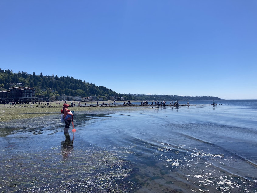
Bond says large communities in the Puget Sound lowlands don't have to "deny their tomato plants the drinks of water they need" just yet — though conservation is always a good idea. The same cannot be said for residents and farmers east of the Cascades.
"The dryland agriculture is in as bad a shape as it's ever been," he says, noting that's not just because of the recent deadly heat wave but also because we had the second driest spring on record.
"Mostly because of the deficits in precipitation that occurred during the spring, of course, made worse by the hot temperatures."
Consider this: Between March and June, Bond says the state averages 11 inches of rain. This year, the statewide average was just six inches and it was worse to the east.
In short, the problem is compounding. High temperatures may not be hitting record levels right now, but they're persistently above average while precipitation levels are persistently below average. And Bond says we can't yet know when the fall rains will begin in earnest.
The next three months may not look like the end of June. But they're already rough, ushering in an early wildfire season that is likely to also be a long one.
Sponsored
-
Angela King

Morning News Host
Angela King is the local host of Morning Edition. She’s been a part of the northwest news scene since the early 1990s. A proud University of Washington alumna, with degrees in broadcast journalism and American ethnic studies, she started her career as a news writer in Seattle, before becoming a reporter and anchor in Seattle, Portland and Albuquerque.
More stories from Angela King » -
Katie Campbell

Online Editor/Reporter
Katie joined KUOW's online team as an editor and reporter in 2024, after serving three years as senior producer of the local Morning Edition program. She has covered a variety of local topics, including the Seattle City Council, elections, and breaking news. She also brings readers some levity with a weekly news quiz.
More stories from Katie Campbell »


