How wet is it? Historically wet. A glimpse into the future of PNW weather trends
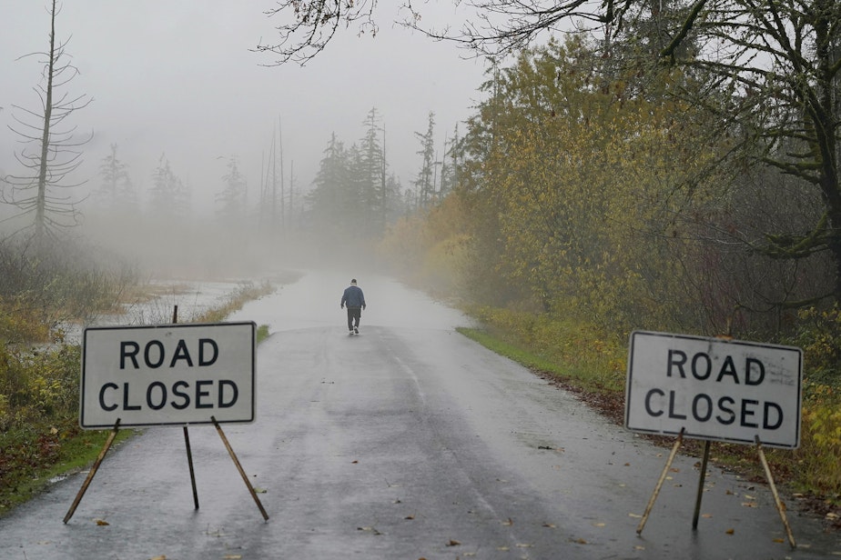
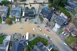
Tolerating the rain is a rite of passage in the Puget Sound region, but these last few months have been soaking wet. The National Weather Service confirmed this week that the region has experienced the wettest fall ever recorded in the Seattle area.
What's going on in 2021, and what's coming this winter? Karin Bumbaco is the Assistant State Climatologist. KUOW’s Kim Malcolm reached out to her for some answers.
This interview has been edited for clarity.
Kim Malcolm: Why is this happening?
Karin Bumbaco: It has just been so wet from a series of what we call atmospheric rivers hitting our region. It's named that way because if you look at a water vapor imagery, it looks like a river of moisture headed right at Washington State, bringing a lot of moisture and flooding with that.
We were told to expect a La Niña type of winter. Is that contributing at all to this?
I don't think so at this point. In La Niña years, we typically see cooler than normal temperatures and wet conditions. What we have seen so far is certainly the wet, but we're getting it for a different reason. I wouldn't blame those wet conditions on La Niña quite yet. What we've seen this winter is a lot of atmospheric rivers coming from our southwest directed right at Washington State. In a La Niña pattern, we typically have more anomalous northwesterly flow, which brings the cold and the wet to the region, and helps the snow in the mountains.
Sponsored
So you're saying we still have a pretty good chance of snow in the weeks to come?
Yes, absolutely. There's plenty of winter left, and as far as our long-range models are showing, about two weeks from now things look to really cool off in the region but still be wet. It looks like we could switch to more of that typical La Niña pattern, and we have a lot of winter left to go.
This extremely wet weather has led to some serious flooding in western Washington, devastating in some areas. As the Assistant State Climatologist, what can you tell us about the role that climate change may be playing here in weather events like this record-setting rain?
With the changing climate, we actually do expect to see wetter falls, wetter winters, and wetter springs with the types of flooding that we're seeing now. This, unfortunately, could be a glimpse into our future in the changing climate, with the warm temperatures as well causing that precipitation to be rain in the mountains during the fall.
Listen to the interview by clicking the play button above.
Sponsored
-
Kim Malcolm

Afternoon News Host
Kim is the local news host of KUOW's All Things Considered, airing from 3 p.m. to 6:30 p.m. weekdays. Kim covers breaking and developing daily news, both local and regional, as part of NPR's afternoon drive time programming.
More stories from Kim Malcolm » -
Andy Hurst

Senior Producer, Seattle Now
Andy Hurst is a senior producer for Seattle Now, KUOW's daily news podcast. He produces in-depth interviews for the show, in addition to Seattle Now's evening episode, which highlights the top stories of the day from the KUOW newsroom. Andy has produced interviews on a wide array of topics, and he’s especially drawn to stories about public health, science, and arts & culture.
More stories from Andy Hurst »