New Seattle council district maps will reunify some neighborhoods, split others
Every ten years, political district maps are reshaped based on the latest census data. Since 2013, that includes new district maps for Seattle City Council members.
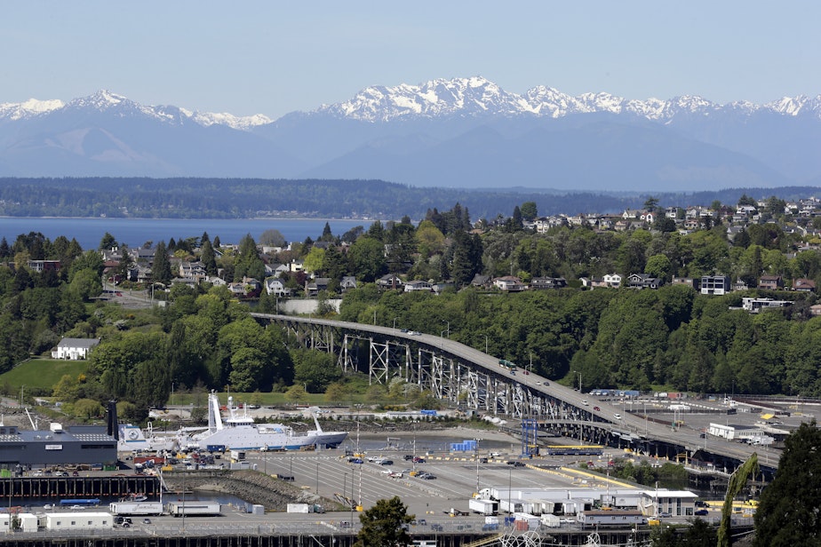
Growth throughout the city was uneven over the last decade, and in the case of Magnolia, some district lines won't fall evenly over traditional neighborhood lines.
The city's current district lines were drawn after voters approved Charter Amendment 19 in 2013, a city-wide change from council elections to district elections. At the time, a University of Washington demographer drew the district lines according to the natural geography and existing neighborhood lines of Seattle.
This year marks the first time district maps will be decided by an independent commission. The Seattle Redistricting Commission includes five members: two chosen by the current city council, two chosen by former Mayor Jenny Durkan, and one commissioner chosen by the other four members of the commission.
In February, the commission presented four draft district maps. Each district is required to have a relatively equal population, and by 2020 census numbers, that means 105,000 residents per district.
Changes include an expansion of District 1, which currently includes West Seattle down through Arbor Heights in the south, and South Park in the east. The new district lines will reach out to I-5, pulling Sodo and Georgetown from District 2 into District 1.
In District 2, which includes the neighborhoods of Beacon Hill, Rainier Beach, and Columbia City, up north to the boundaries of the Central District, the bisected Yesler Terrace will be rejoined as a corner of District 2.
Sponsored
Slower population growth in District 5, which includes Seattle's northernmost neighborhoods, will expand the district boundary farther south.
At the center of this year's redistricting debate is the boundary between District 6 and District 7. District 7, currently including Magnolia, Queen Anne, and downtown Seattle, saw the largest population growth of anywhere in the city, driven by housing developments in South Lake Union.
That growth means the district needs to shrink, and the earliest maps from the redistricting commission have pulled Northwest Magnolia into District 6, with Fremont and Ballard, while keeping Southeast Magnolia and Interbay in District 7.
The split has drawn mixed reactions.
"It's not just a question of splitting Magnolia," said Andrew Hong, a coordinator for Redistricting Justice for Seattle. The coalition supports keeping communities of color together through the redistricting process, as well as supporting the interests of renters, young people, and low-income residents.
Sponsored
"It's also a question of, do we split Fremont into three different districts, which was a proposed remedy to keep Magnolia whole," Hong said.
Several solutions were proposed to keep Magnolia together, including rebalancing portions of downtown to neighboring districts, splitting Fremont into three districts, and pulling the University of Washington campus into District 3. But pushback from Redistricting Justice for Seattle and university students, who were concerned with further balkanizing student and renter demographics, ultimately pushed the commission to adopt the Magnolia split.
"At the end, the Seattle City Council redistricting process and the commission are tasked with drawing a map for the entire city, not just for Magnolia," Hong said. "I think they did the best job they could do."
Ann Goos, a board member with the Magnolia Chamber of Commerce, said the split was a surprise to many Magnolia residents. Goos is concerned with the fact that the neighborhood will now need to work with two city council members instead of one.
"The Seventh [District] is changing so dramatically that you worry — how much care will that council member take with things like Magnolia and Interbay, and how much are they taking into account the impact on the Sixth District constituents?" Goos said.
Sponsored
After months of public comment and proposed adjustments, the final map was confirmed on Nov. 8, with the final maps set to be approved by the city council on Tuesday. Once approved by the city council, the new district boundaries will take effect starting in 2023, when all seven district council seats are up for a vote.
The public can still submit comments on the redistricting process on Tuesday, but public comments on the final district plan are closed.
The final district map can be found here.
Listen to the Soundside's full redistricting synopsis by clicking the audio above.
-
Libby Denkmann

Host, Soundside
Libby Denkmann joined KUOW in December 2021 as the host of the midday show Soundside. She’s a native Pacific Northwesterner who grew up in Redmond, graduated from the University of Washington, and covered local news as a producer and reporter with KIRO Radio.
More stories from Libby Denkmann » -
Alec Cowan

Senior Podcast Producer
Alec Cowan is a senior podcast producer for KUOW, where he works on Booming and other podcast projects. He's worked on many station programs, including Soundside, The Record with Bill Radke, Primed, and SoundQs.
More stories from Alec Cowan »


